Hempstead Supervisor Laura Gillen on Thursday announced the launch of a new town interactive road map for determining which municipalities to contact about road maintenance.

The map, which is available on the town’s website and is touted as the first of its kind on Long Island, is intended to help residents report potholes and other problems to the appropriate municipality.
“The town of Hempstead is on the front lines and is often the first call for residents with questions, concerns or complaints about roadways,” Gillen said at a press conference. “The problem is that with so many different layers of government and so many different municipalities having jurisdiction over these roadways, finding the right answers may not always be so easy.”
The town is contacted on average 5,000 times a year regarding various roadway issues and 40 percent of those calls need to be rerouted to different agencies, Gillen said.
The launch of the site comes ahead of the winter storm season when, officials said, confusion and calls peak regarding questions about snow plowing, closures and emergency services routes.
“Having passable streets that emergency vehicles can navigate is of the utmost importance,” Gillen said.
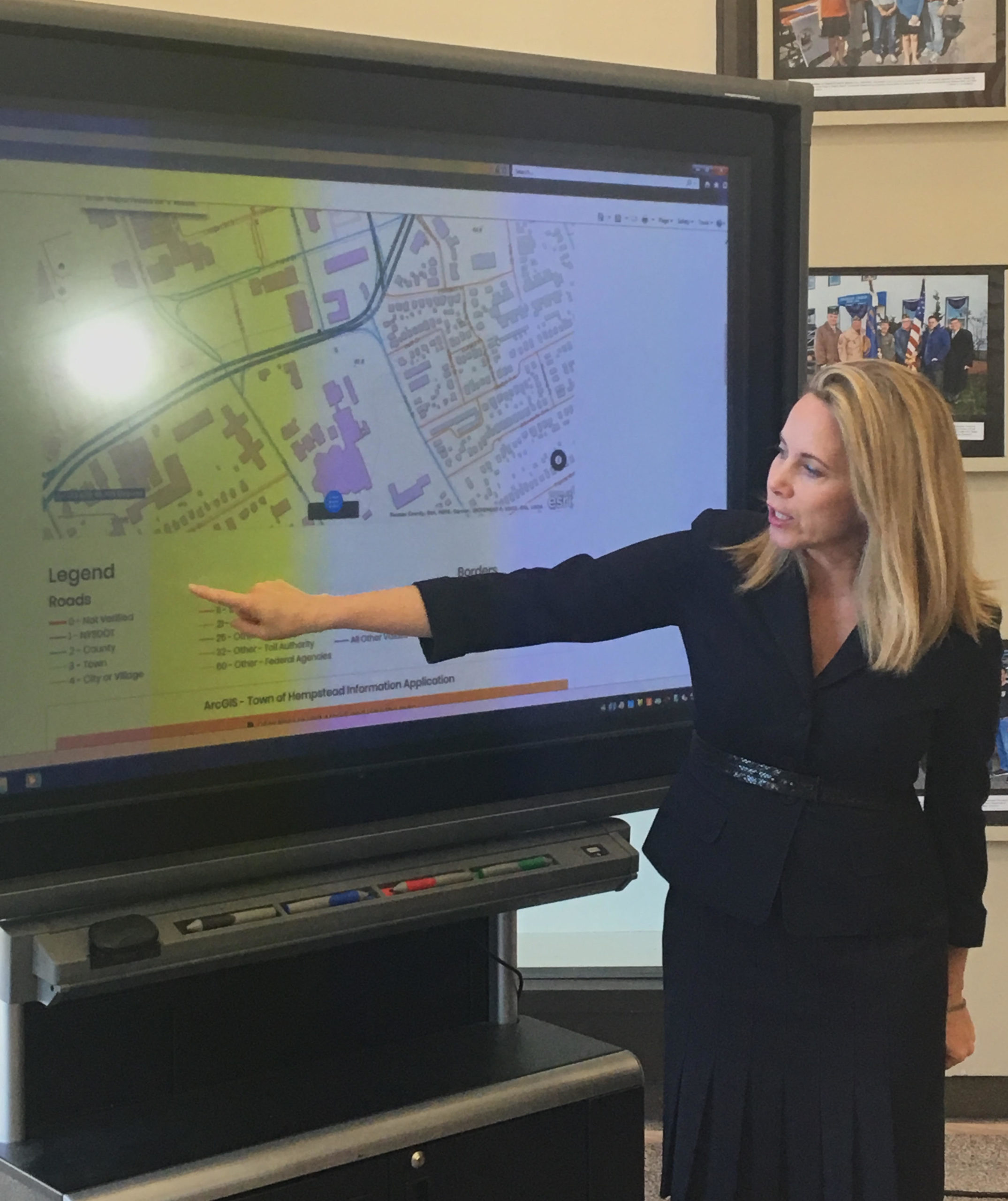
The new interactive map includes a scroll feature to zoom in and out on the entirety of the town and criss-crossed color-coded streets with a legend explaining exactly whether the state Department of Transportation, Nassau County the town, various villages or other entities are responsible for certain roadways.
The site includes a complaint form for the town directly under the map as well as contact information for other municipalities.
The town designed and built the sitemap through a shared services agreement with Nassau County to promote greater inter-municipal cooperation. The county gave the town free access to their Geographic Information Systems, or GIS, mapping software to dichotomize the roadways.
Some 25,000 miles of roadways run through the town, but less than half actually fall under the town’s jurisdiction when it comes to maintenance, Gillen said.
“This is a perfect example of how things should be done,” town Clerk Sylvia Cabana said. “Within one town or village in the town, often there is village road, a town road or a county road, so it’s important for residents to know where they should go when they are in need.”